UnderTheSands is a Marie Skłodowska-Curie Postdoctoral Fellowship funded under the Horizon Europe programme of the European Union (HORIZON-MSCA-2021-PF-01-101062705) at the Landscape Archaeology Research Group (GIAP) of the Catalan Institute of Classical Archaeology (ICAC).
PI: Dr. Nazarij Buławka. Supervised by: Hèctor A. Orengo (ICREA Research Professor at ICAC).
Dates: 05/09/2022 – 04/09/2024

Dr. Buławka is an early carrier researcher specializing in GIS and computational methods in the archaeology of the Ancient Near East, Central Asia and Iran. The project aims to develop a novel workflow for the large-scale analysis of irrigation networks in the Near East, combining advanced remote sensing and hybrid Machine/Deep Learning methods.
AIM
UnderTheSands aims to locate and reconstruct the irrigation network of the areas under study in the Near East and to explore its chronological dynamics.
BACKGROUND
Water scarcity is affecting many communities today due to climate change and pollution. In recent years, even in temperate zones, we have witnessed seasons of devastating droughts followed by extreme floods, events of famine caused by the consumption of contaminated water, or degradation of whole ecosystems.
The social and economic impact of those issues is impossible to ignore. Therefore, the need for proper water distribution and protection is an active topic in political discourse, particularly in the European Union.
METHODOLOGY
The proposed methodology will include remote sensing, terrain analysis, hybrid Machine / Deep Learning methods, archaeomorphology, spatial correlation indices, and historical studies) and various spatial data sources (including multispectral imaging, synthetic aperture radar, and TanDEM-X).
The application of Google Earth Engine (GEE) will create a possibility to work with an enormous amount of data incorporating the workflow developed by UnderTheSands.
Follow all the news and publications of the project!
Principal Investigator
Nazarij Buławka
“Traditional techniques of water harvesting and irrigation inspire my work in UnderTheSands project”
Dr. Buławka completed his PhD in 2020 at the Faculty of Archaeology (University of Warsaw). His main research interests are irrigation network, landscape archaeology, ancient economy, settlement pattern, and Iron Age in Central Asia and northeastern Iran.
He gained much experience managing field survey projects in Turkmenistan and Poland through digital documentation methods and using local relief models and CORONA imagery to study irrigation networks of alluvial plains.
Nazarij’s previous research under his doctoral thesis focused on changes in settlement patterns and the irrigation of three oases in Turkmenistan during the Iron Age: Serakhs oasis, Tedjen and Murghab alluvial fans. He is a co-cocreator of MobileGIS SIG at CAA International.
CONTACT
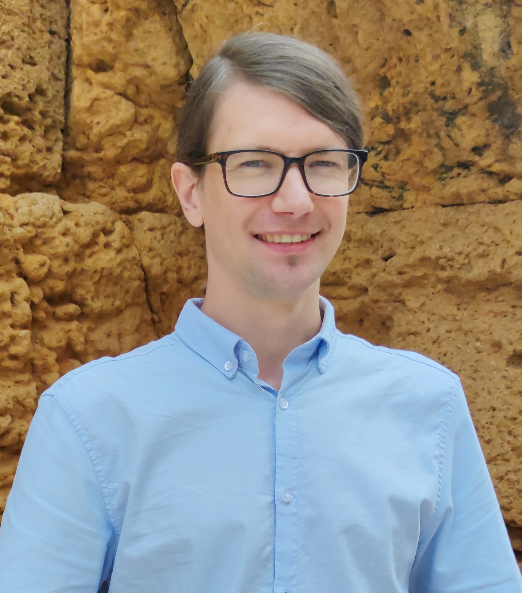
Nazarij Buławka
Principal Investigator
MSCA researcher at the Catalan Institute of Classical Archaeology (ICAC)
nbulawka@icac.cat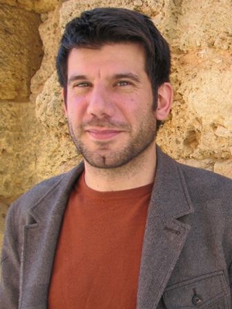
Hèctor A. Orengo
Supervisor
ICREA Research Professor at the Catalan Institute of Classical Archaeology (ICAC), Research Coordinator at ICAC and co-director of the Landscape Archaeology Research Group (GIAP) of ICAC
horengo@icac.cat